Majuba/Amajuba is a challenge to climb at any time, as we did in 2006, and it filled me with admiration for the British troops and Boers of 1881. More so is my sympathy with the members of the Centenary climb, as they were a mixture of ordinary people, young and middle-aged, fit and unfit. They clambered to the top in the dark, two with full packs, recreating the 1881 route. They were each given a copy of the following certificate.
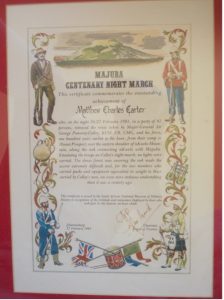
Majuba Centenary Night Climb
This certificate commemorates the outstanding achievement of MATTHEW CHARLES CARTER who, on the night of 26/27th February 1981, in a party of 41 persons, retraced the route taken by Major-General Sir George Pomeroy-Colley KSCI, CB, CMG, and his force, one hundred years earlier to the hour, from their camp at Mount Prospect, over the eastern shoulder of nKwelo Mountain, along the nek connecting nKwelo with Majuba.
Emulating the troops on Colley’s night march, no lights were carried. The dense forest now covering the nek made the ascent extremely difficult and, for the two members who carried packs and equipment equivalent in weight to those carried by Colley’s men, an even more arduous undertaking than it was a century ago.
This certificate is issued by the South African Museum of Military History, in recognition of the fortitude and endurance displayed by those who took part in this historic six hour climb.
Johannesburg, 27th February 1981.
And on the reverse:
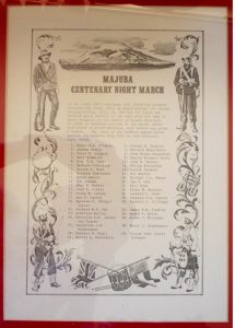
Majuba Centenary Night March
On the night of 26/27th February 1981 forty-one persons retraced the route taken by Major-General Sir George Pomeroy-Colley, KSCI, CB, CMG, and his force one hundred years earlier to the hour, from his camp at Mount Prospect to the summit of Majuba Mountain. In order to maintain contact on the march, which took part in pitch darkness, each member was given a number. The names of the members appear below against the number they bore in this historic night march.
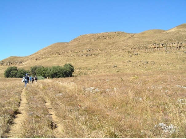
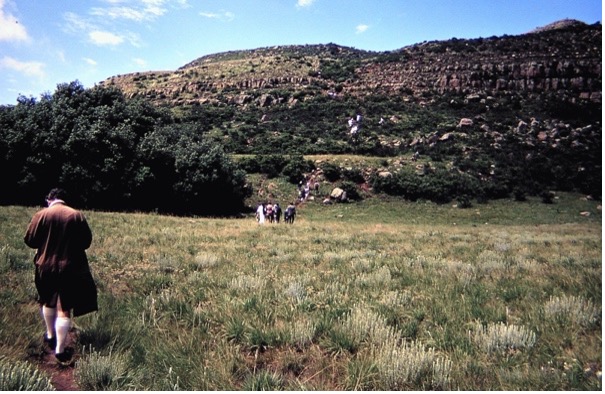
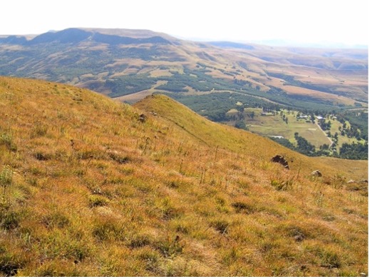
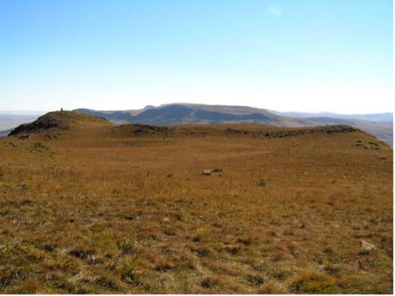
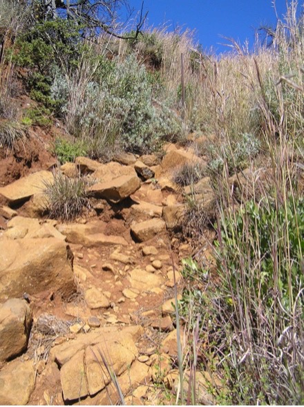
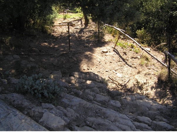
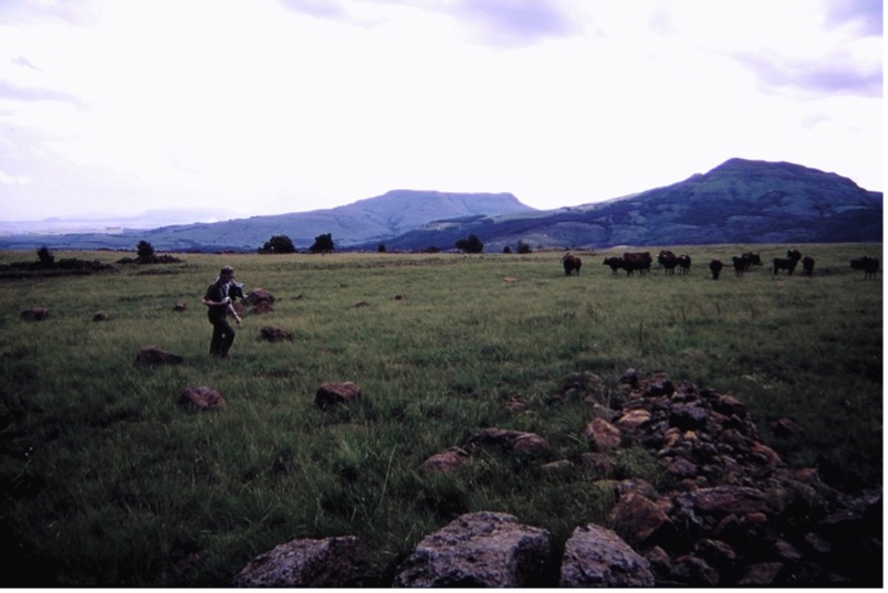
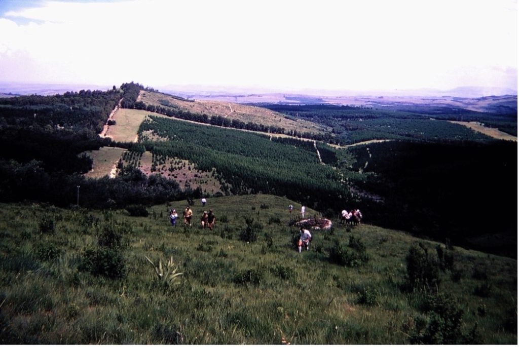
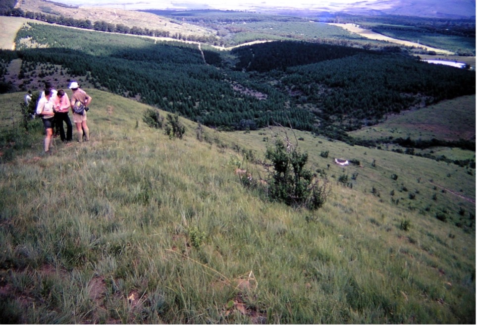
Winter in Natal means that the landscape is dry and yellow, summer is when everything is green, so in some of the following photos you would wonder if they depict the same place.
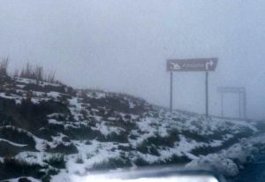
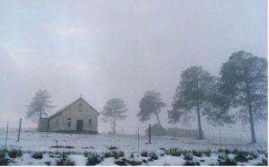
In 2001 I missed the experience of climbing the hill because it was snowed in and, in fact, some nearby roads were impassable. I had no idea that I would see snow in South Africa. (Trish)

Photos below:
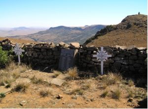
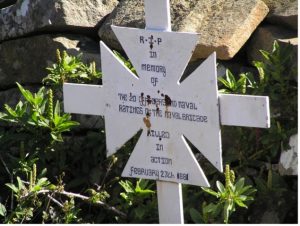
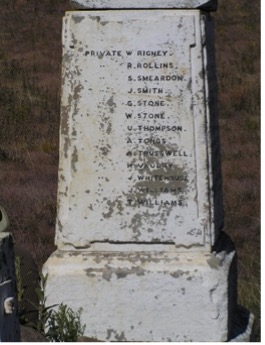
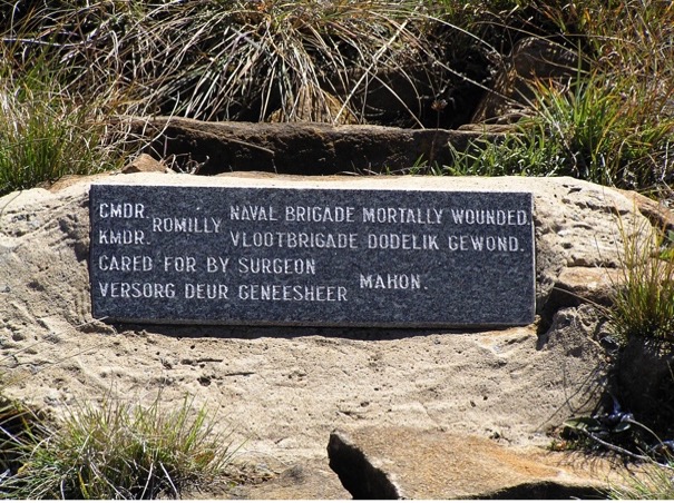
In memory of the Honourable Cornwallis Maude, only son of Viscount Howarden, aged 28, who having resigned his commission in the Grenadier Guards, volunteered for service while in South Africa, and being attached to the 58th Regiment, fell in action on Amajuba Mountain, February 27th 1881. For Queen and Country. Jesu mercy.


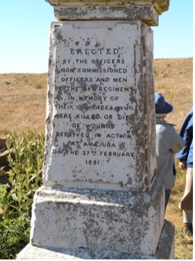
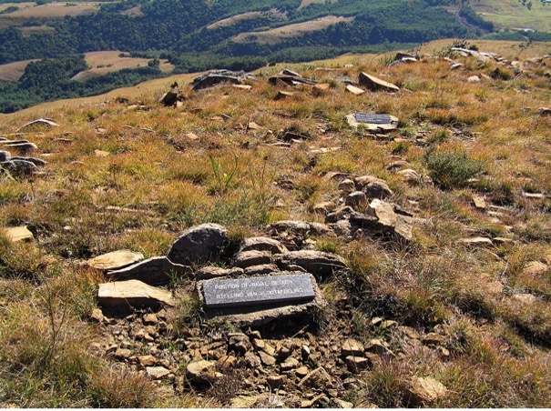
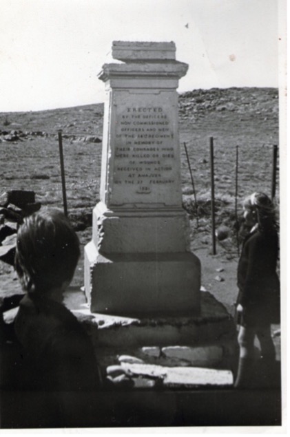
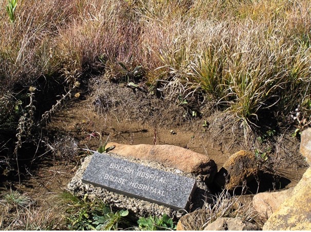
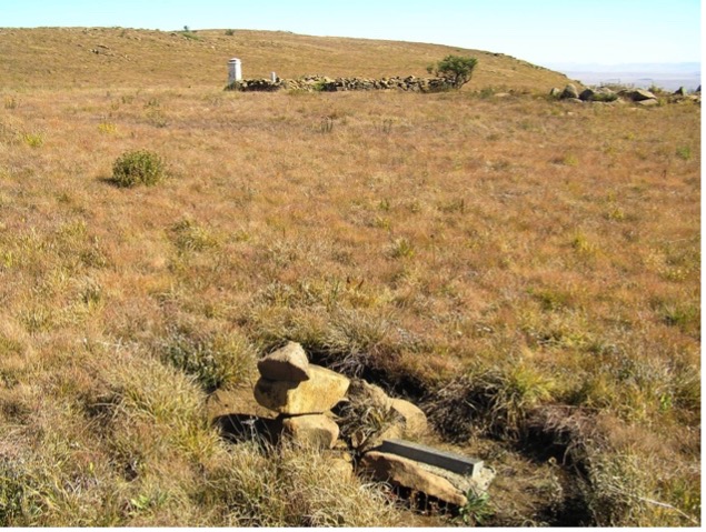
Erected in honour of those killed or wounded.


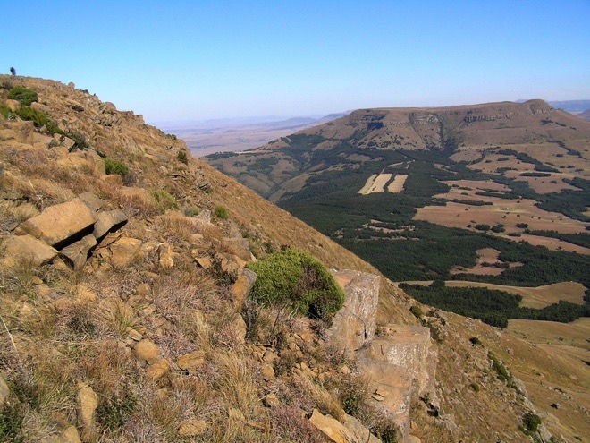
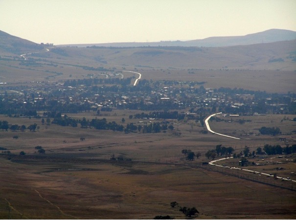
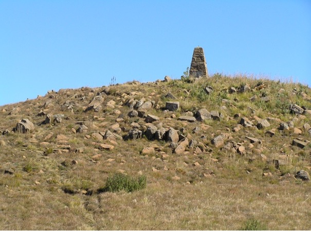
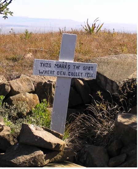
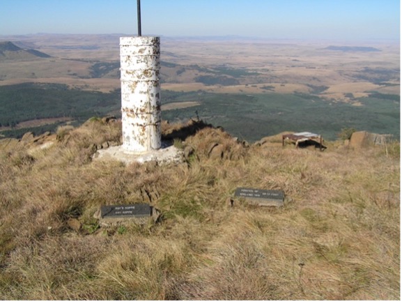
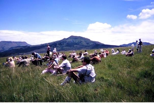
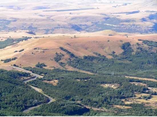
From the top of Majuba the views are stunning, and we can see why it was important to hold it.


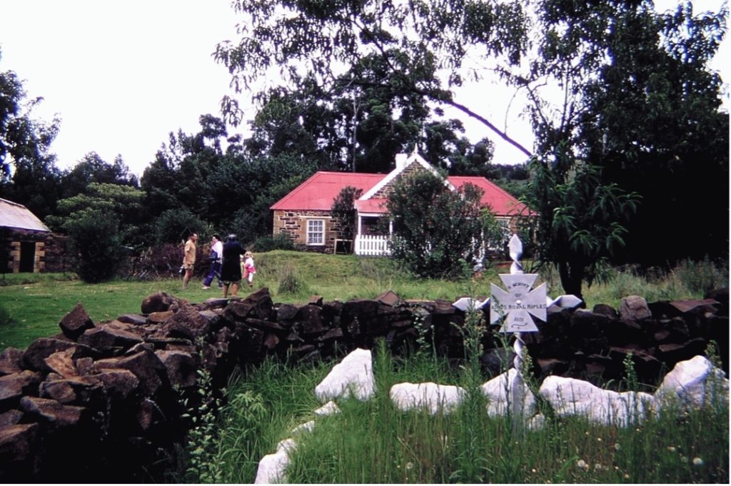
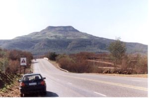
Photos of Laing’s Nek Battlefield
1970 trip by Durban branch of South African Military History Society to Laing’s Nek.

Laing’s Nek from Majuba. The monument on the right is situated to far right, top third, of 1st photo.

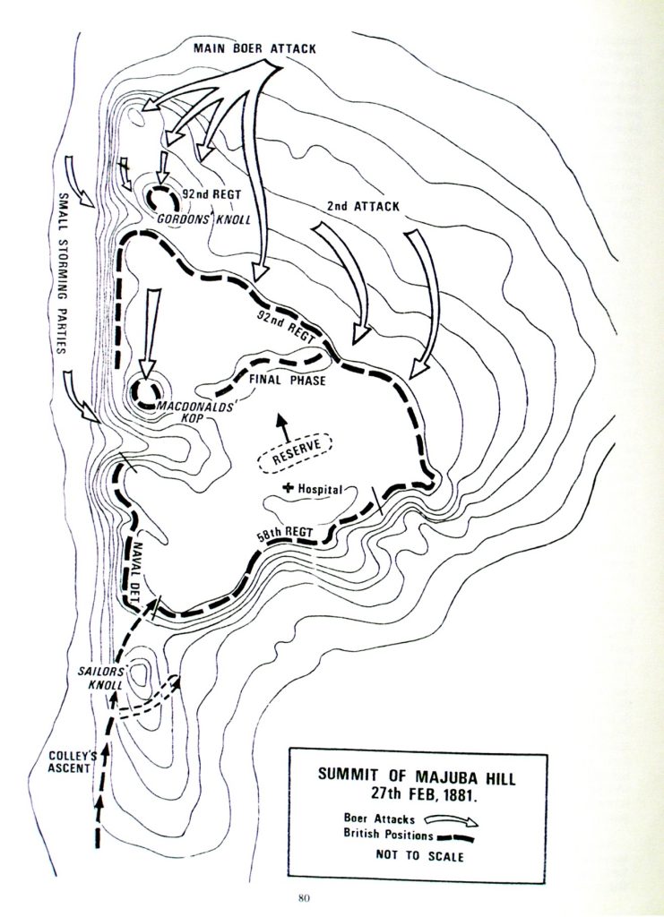
The following map is from David and Goliath, the First War of Independence, 1880-1881, by George R. Duxbury, 1981.